Packed with editing and workflow features to create HDR images.
It is designed for developing personalized food defense plans.
Create maps with geospatial data in Adobe Illustrator.
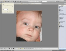
Program for easy digital image edition.
In this game you have to defend a predetermined path on the map.